Tag: lost

Vacation-Brin Mesa

The next day we were up early for what was supposed to be a short, easy hike and then followed by an afternoon of shopping in downtown Arizona. However, we had some trouble. We had planned on going to Sugarloaf for the trail there.. The parking lot was full and street parking was not allowed. We then planned for Bell tower but the parking lot was full.  Planned on going to Vultee Arch- couldn’t find the parking lot so we ended up driving out to Brin Mesa. I tell you a four-wheel-drive will be much better to get you there but we were able to find parking. Hallelujah. 

We headed out for what All Trails said was a short 3 1/2 mile out back , it was also supposed to be very easy with very little incline.   Lies!  Brin Mesa started on this marvelous orange trail with green trees and the awesome rocks to your right. . Everything looked amazing. Then we had a little turn and a little climb that turned out to be a lot steeper than we thought. It’s basically like climbing steps, but I wasn’t prepared for that and I was whining. 

 Once we got to the top, we took a breather  and we could see some people out on a rock. So I let my mother convince me to go to the rock.  Once at the rock the view was amazing- 360° view.   Let me tell you, Brin Mesa is worth it.

Then instead of turning around like I had planned, we continued forward. Did we have a real plan?  No.  Was I positive I had  looked at the map at the trailhead right? Also no.   But, choose your own adventure.  So we continued around and eventually Brin Mesa turned into Soldiers Pass Trail, along the way this had one of the best views I’ve ever seen.   Pictures don’t do it justice.  

We continued down into a little gully and started to realize that we were connecting with Soldiers Pass, which I had hiked a couple years ago and I vaguely remembered the area. I was pretty sure we could pick up the other trail and loop around it to Brin Mesa without turning around, but also wasn’t positive. The catch was that I hadn’t actually looked at the map that closely and I couldn’t remember what the name of the other trail was. I vaguely remembered a man’s name so I figured I would figure it out.   It took us past the Seven Sacred Pools and back passed the sinkhole to the Soldiers’ Pass trailhead.. We were able to pick up the Jordan Trail- success!  And then we were headed back towards the Brin Mesa trail head. 

The Jordan trail was nice and pretty easy. There were no real technical moments, just a few parts where you crossed the rocks and kind of lost the trail, but it was fairly easy to pick it up again. I was melting because once again, I was unprepared for how much sun I was getting. We ended up getting back to the trailhead and getting in around exactly 6 miles.  So while it wasn’t long it was  a longer route that I had originally planned, but still worth it. 

However, I was still concerned about the next day, when we would venture into the Grand Canyon. We then spent the rest of the afternoon wandering around downtown Sedona and ate some good pizza before heading back to the hotel to get some rest. 

Lost

Last week hit me like a truck and then put it into reverse. Have I already said that?

Maybe trying to limit my carbs and cut back on artificial sugars all in the same week was a bad idea. Both are at Dr’s orders. I’ve watched my carbs before and I admit, I did feel better but why do all the best foods have so many carbs?!?! I am starting slow and trying to moderate my numbers during the day and not stressing about dinners yet. I also may have taken the weekend off as well…oops. As for the artificial sugars, I am trying to cut back on everything except Diet Coke- we all have our vices right? But I use a surprising amount of Crystal Light so it’s taking a moment or so.

I didn’t work out all week, even though I kept telling myself I would. I even had an extra 15 minutes on Friday morning due to a doctor’s appointment but did I work out in the morning? Nope. And I really didn’t that evening as my morning appointment was for a couple of biopsies and the sites were angry that evening. Didn’t stop me from being stupid over the weekend though.

Saturday, I headed out early afternoon to get in a few miles. For the most part, I felt ok and ran/ walked 3.67 miles. My right foot was starting to blister and the biopsy on my back was starting to talk so I called it.

Sunday arrived and I was up early and heading for the coast. It’s been too long since I got lost. Obviously, getting lost was not the plan but sometimes trails with my mother turn into adventures as she does not know how to stick to a plan. We were on track for the first 3 miles and then we went off course. Took a trail neither of us has been on before with only a general idea of where it went. Also one of the steepest climbs… and it just kept going!!! Also it’s hard to oreint yourself to the ocean when you can’t see. Luckily we could from the top of the climb so I knew we were on the right track. Chose the right way through a couple of trail intersections before landing on a wide trail/ road. Which then led us back to the main road…like I thought. What I did not think was how far out on the main road it would spit us out. Like 2 miles out on a narrow winding death trap road. Oops.

I was pretty positive I could get us back to the cove by taking a trail on the other side of the road- the Dune Trail. Aptly named because it’s all dune sand. My mother lasted maybe 1/3 of mile before we were back on the road. Ha! After what felt like a longer trek than the previous 7ish miles, we were back at the car. 9.85 miles for the day. Big oops. But long enough to tell me these trail shoes are a big no. My left foot still feels bruised today. Grrr. Also, the back biopsy is very angry. Dumb.

So my levels of running go from none to getting lost in the state park…yep, sounds about right.

Wednesday Wandering- The Pinnacles

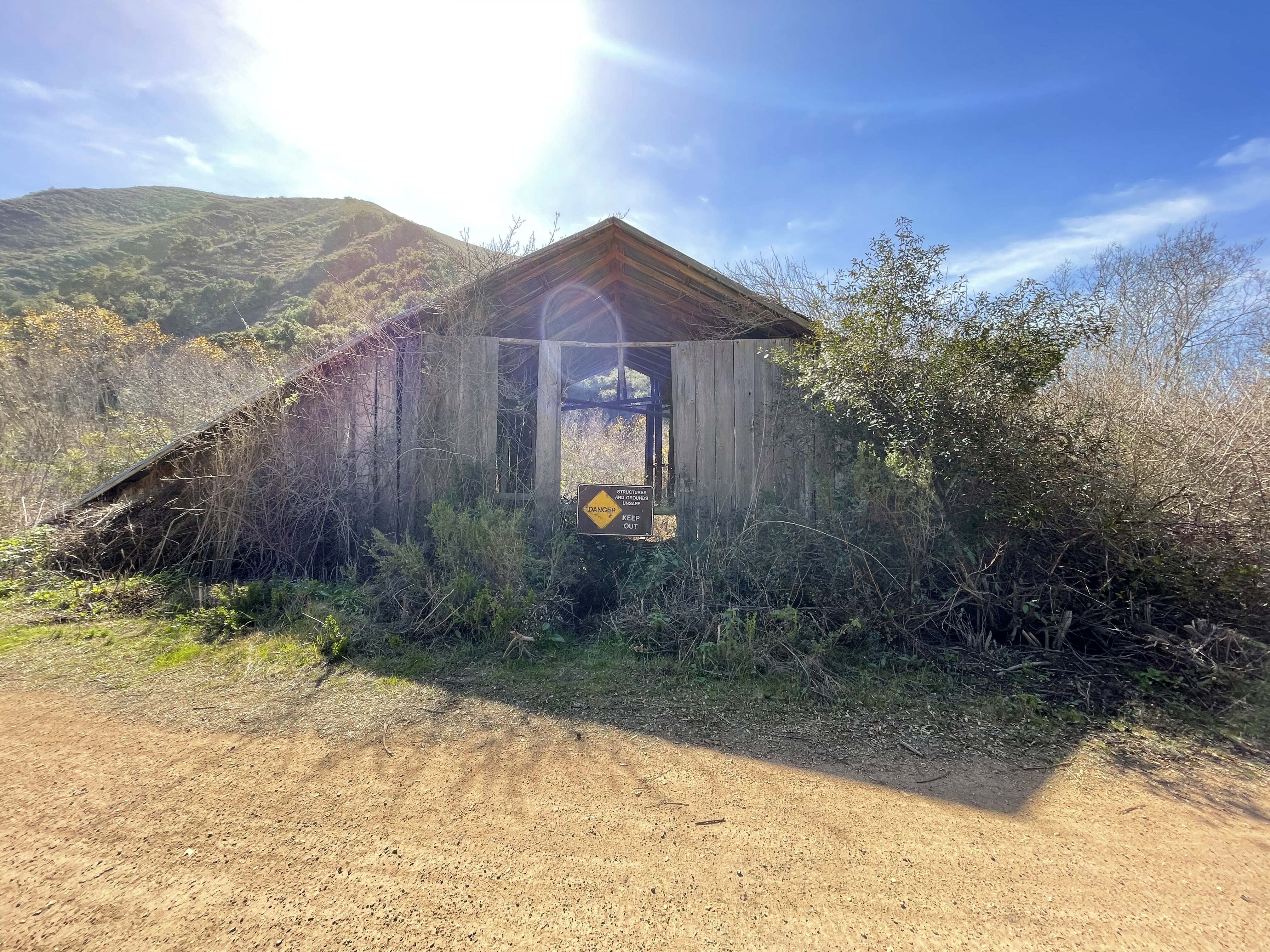
The day before Thanksgiving, my dad and I headed out to the Pinnacles.  The Pinnacles is a state park located in Monterey County, about 90 minutes from home.     The weather was supposed to be in the high 40’s low 50’s and that is cold to this California girl so I dressed in a few layers which included 2 pairs of socks.   Once we arrived, we parked on got our gear ready.  I had my Nathan vest with 20oz of water and 2 Extend bars.   I didn’t think I would need the bars for what was likely going to be a 3 hour hike.   Insert theme song to Gilligan’s Island.

IMG_3698IMG_3751IMG_3781

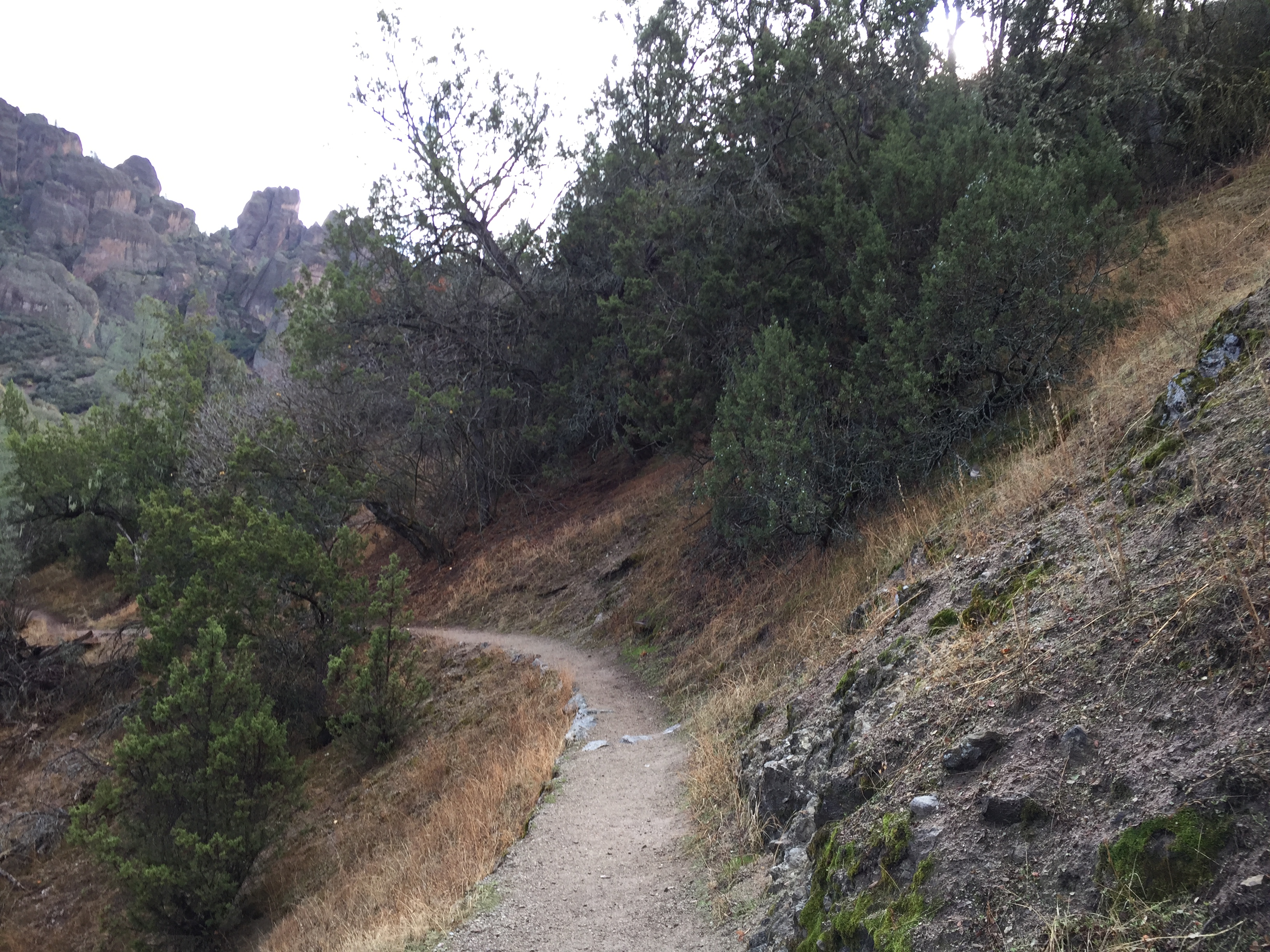
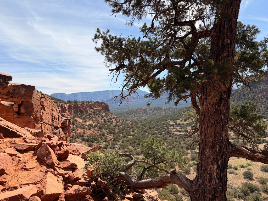
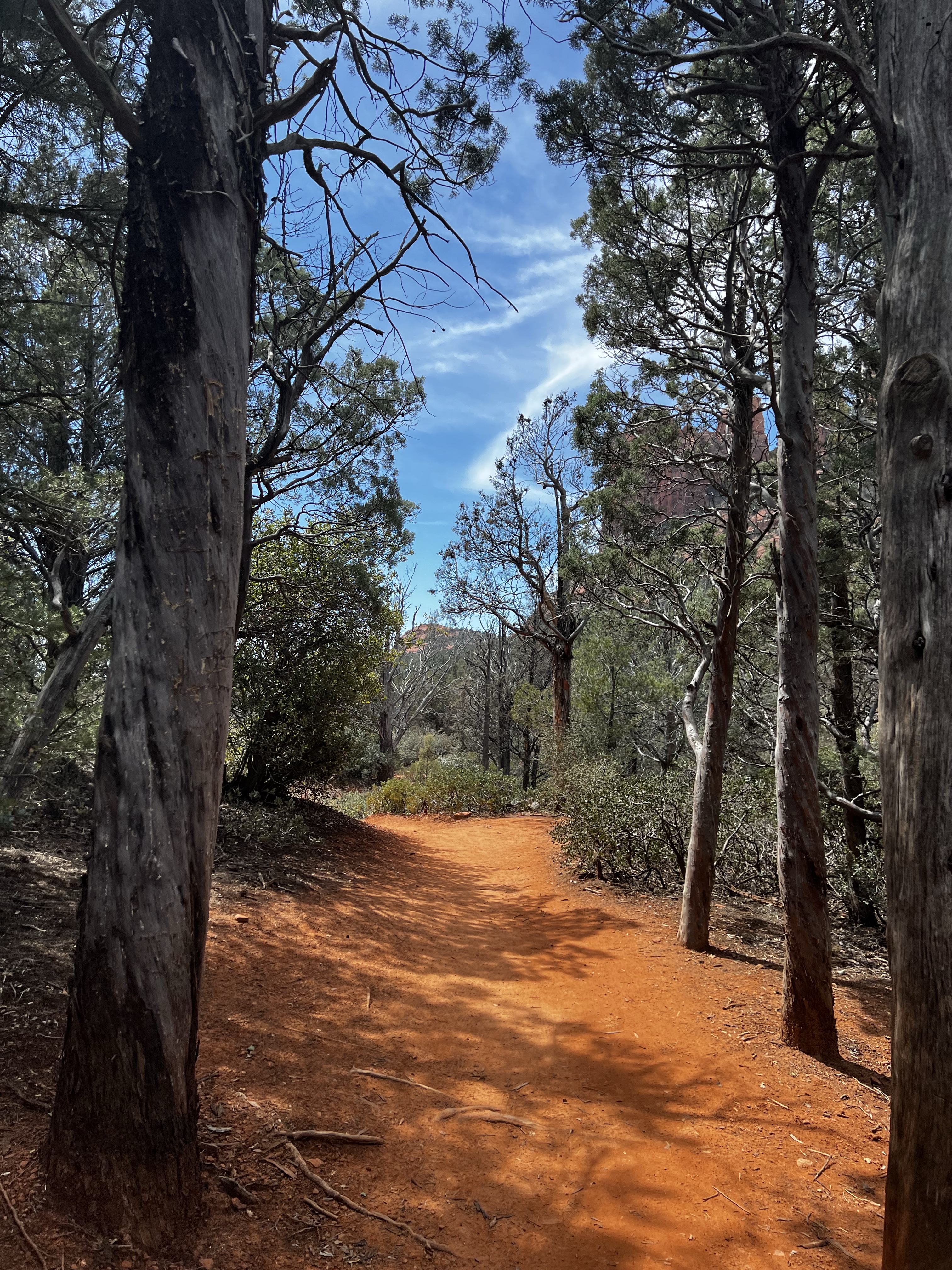
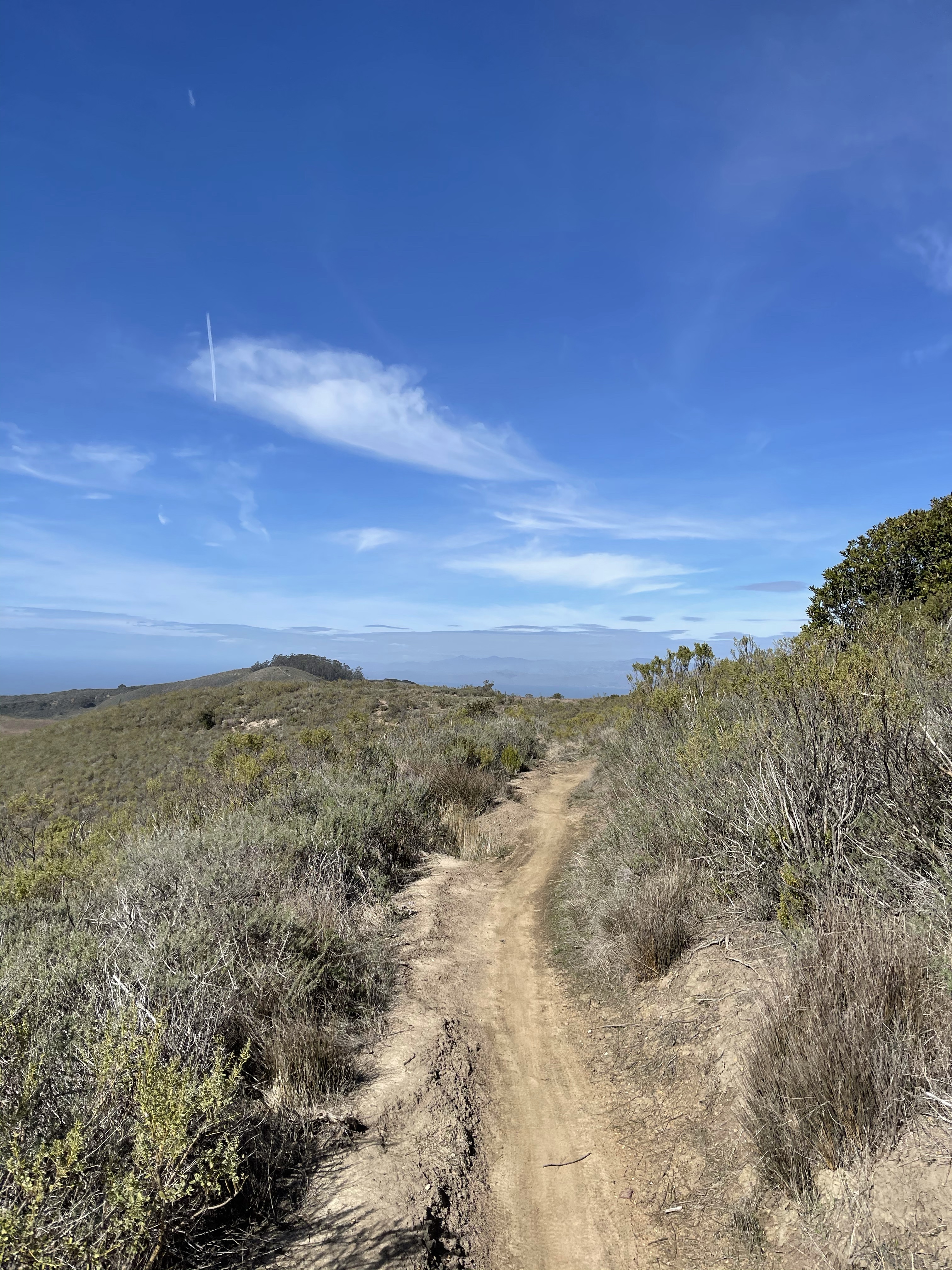
My pops has had some pretty gnarly injuries over the years so he kept telling me to go ahead.  The trail was pretty straight forward and well marked.  I would go ahead until I couldn’t see or hear him anymore then stop and wait until I could.  It gave me time to take plenty of photos.  The scenery was amazing.  That combined with the chill in the air made me feel like I wasn’t in California anymore.

The first 2.5 miles gained about 1500 ft in elevation but 98% of that was very user- friendly.  All trail, nothing technical.    Just great views.   The wind was picking up and my ears were getting cold.  I can’t stand when my ears or toes get cold.  I stopped to pull my headband out of my pack to put it around my ears and waited for pops to catch up.  I made a snarky comment about how silly it looked with my hair sticking out and he commented that it’s not like anyone was looking.   HA!   I hit the first summit around 1.5 miles up and who was there?  A crew of firefighters.  Working out.  Seriously?!

IMG_3803

After that fun run in, I just kept going up until I thought I was at the top.   I was wrong.  My parents had done this trail in the past and I remembered my mom mentioning a set of freaky stairs but I hadn’t seen anything so I figured we took a different path.   Nope.  There was more to come, I had just missed it.  I was looking for actually stairs.  Not holes in rocks.


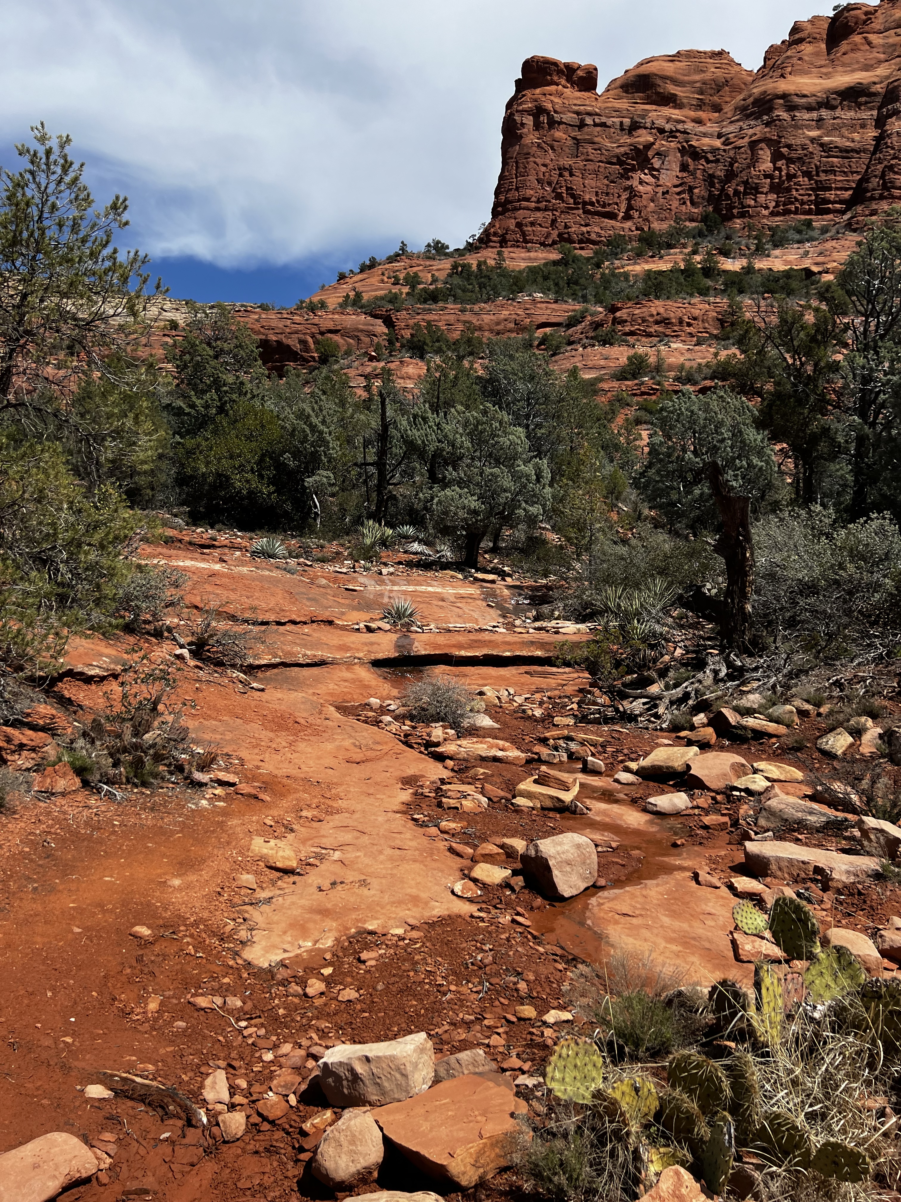
So yeah, I was a little nervous.    At least this section had a railing.  The last section to the top was a lot of hand over foot.   But the view was worth it.

IMG_3875IMG_3991

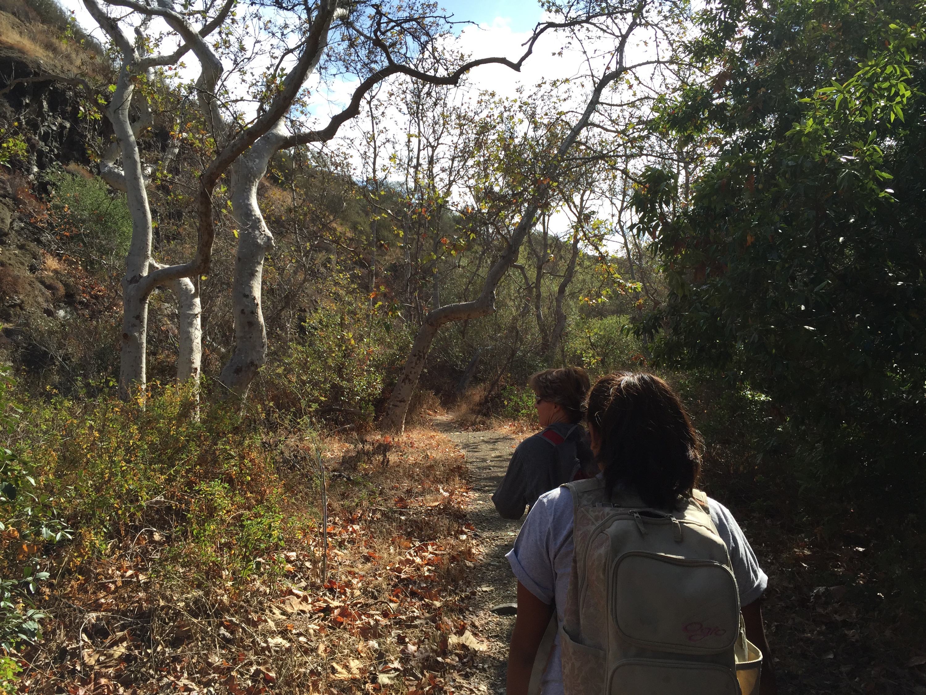
After a little rest on the top, we headed back down the other side.   This series of “stairs” was even hinkier and interesting going down.   Once past that though, we hit a nice path and going down was fairly easy.   I was still super cold, my toes and ears were felt frozen.  We went down like we went up, I would go ahead until I couldn’t hear my dad then wait til he was in sight again.    As we were nearing the bottom of this particular trail, I admit I was tiring.  While the path was walker/hiker/runner friendly, the elevation gain then loss was tiring plus I was freakin’ cold.  Pops was fading too.   We were just past 5 miles when we hit the trail head.   And wanted to cry.  We were 3.5 miles from the parking lot.  😢😢😓

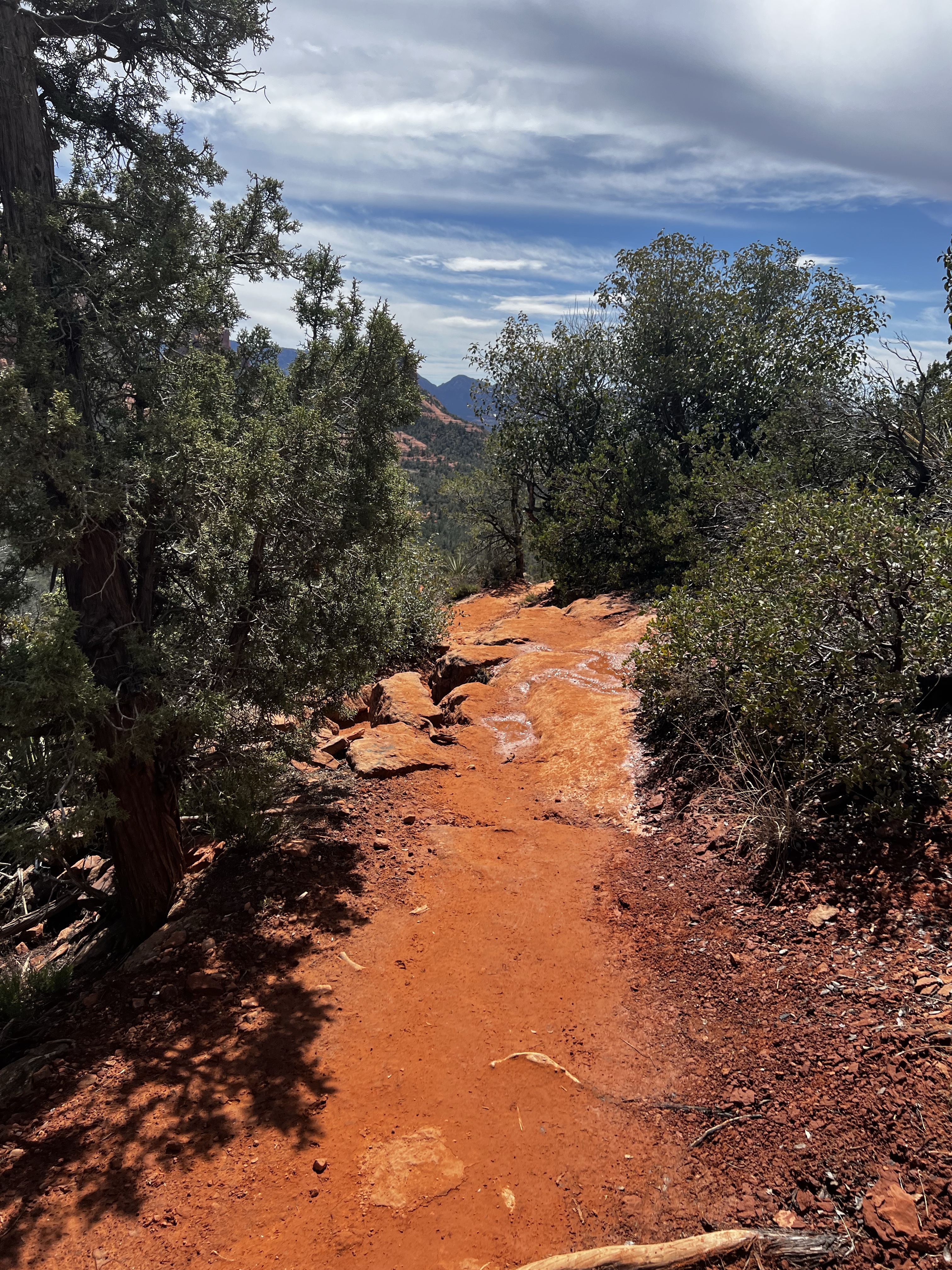
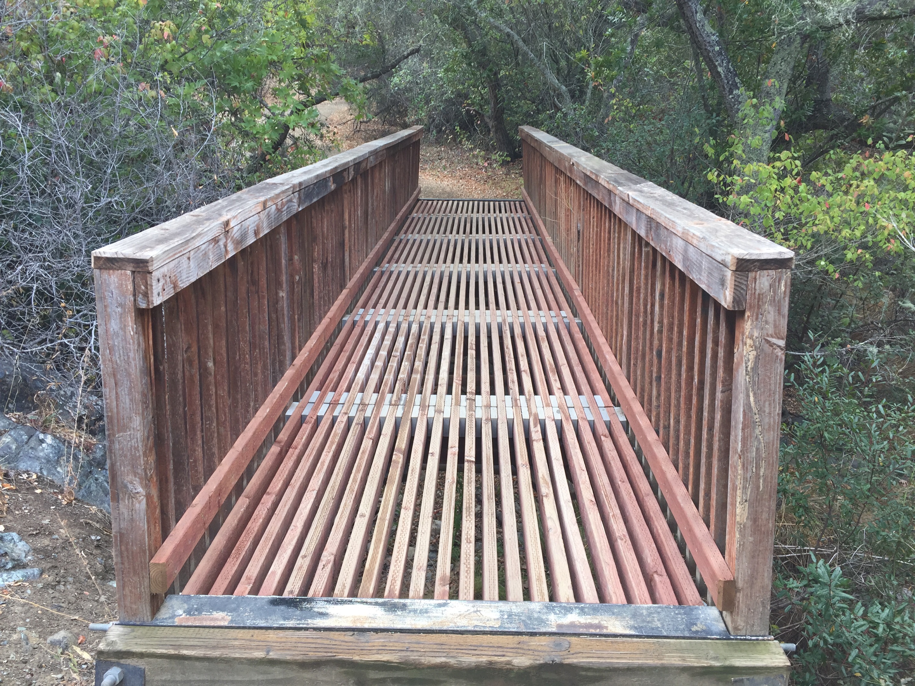
We could do this, we could.   This path was along the river bed and pretty in a different way.   We were paying close attention to the trail as well because there was a trail head and accidentally taking it would add another 7 miles to the route.   Umm, no thank you.

However we had one last decision to make.     The trail split in 2 one last time.   You could choose the Balcony path for 1.7 miles to the parking lot or the Cave trail for 1.3 miles to the lot.    The park guide said you needed a flashlight for the cave but that was it.   We figured it was more a tunnel and took that route.  I was tired and my dad’s feet were hurting pretty badly so half a mile less sounded great.

Coming up on the cave, I started to doubt our shortcut.   We were climbing rocks and boulders just to get into the cave.   I was getting nervous.   Things opened up and flattened out once in the cave.  And turned pitch black.  I busted out the flash on my iPhone in time to arrive a wall of stone.   Ummm, where were we supposed to go?    I kept moving the light around the cave wall and I found a tiny little reflective arrow pointing up.   Moving closer, there was a hole in the ceiling.  Seriously?   And it was raining water so the rocks were slippery.     We made it through that only to find more rocks to climb up and out.    So that half mile less must have been in elevation and the shortcut was that we were climbing it instead.   Once out of the main cave, there was a narrow corridor to traverse.   Which was fine as long you were cool with boulders being wedged above your head.   Granted they’ve been there for hundred and hundreds of years but this is California and the ground does like to move from time to time.  😄

From there it was a much easier hike back to the lot.    My Garmin clocked in at 9 miles and I know I lost signal a couple of times.   I was completely out of water and hadn’t actually eaten anything for the 5 hours we were out there.    My feet were freezing and my dad was hurting too.   As we were climbing out of the cave, I glanced at my watch and even though there was no signal it showed a lap pace of 58:something.    Haha!  I didn’t even think it was possible to do a mile that slow!

IMG_3822IMG_3900

I wish I had better pictures of the cave but it was so dark.  Kind cool after the fact but it was way harder than I thought it was going to be.  😄  Overall it was a great day just a few hours and miles longer than planned.

Ever gotten turned around on a hike?

How about climbing out of bat cave?


Sunday Summit- Reservoir Canyon

A few weeks back I came across a challenge on Instagram called #PixonPeaks.   Hike/run the specific peaks on the list, post it on Instagram and get a shirt.   Ok, it’s a little more than that but it peaked my interest.   And we runners like our shirts right?

Truthfully, I’ve been missing trails.  I love trail running/ hiking but it’s been a long time.   Summer heat kind of kills it and I like sleeping in.  Plus, you know, rattlesnakes.  Throw in a crazy schedule, training for a “goal” race and trails get ignored.    Stress has been getting to me in a major way and I just wanted to get lost.   I like to power hike up the mountains and then manage the fine line between running and falling down hill.  It’s impossible to over think and stress about life when you are throwing yourself down a hill.  😜  Lots of fun and a great way to de-stress.

IMG_2305IMG_2304Sane runners taper 7 days before a goal half marathon but I never claimed to be normal.   One of my mom’s tennis players is in a Geo class and they have to hike 10-15 miles a month outside of class so we picked her up along the way.   The plan was to hike up to the top and run down, nice and easy.  It should have been around 4 miles.   I had never hiked Reservoir Canyon before but always wanted to.   I am not sure why I thought it was going to be a walk in the park.  I had heard that there was a swing along with a teepee and nice stone seating are at the top.    How hard could that be?  Plus I kept seeing pictures of some pink metal thing on Instagram and I wanted to find it.

IMG_2294-0The trail started off through a wooded area and crossed a river bed.  Granted we’re in the middle of a crazy drought so there was no running water.   But the bridge was cool.  😄   The trees were probably as close as we are going to get to fall, so that was nice.  We only gained 200 ft in the first mile so how hard could it be?  I should have checked the trail sites.   The trail narrowed and started climbing.  There were 2 sections that were so eroded that there was no trail- you had to jump to the next section.   It was awesome.   And we gained 1100+ ft in the next mile and change.

IMG_2327 IMG_2326IMG_2341

Luckily, the swing and the teepee were a nice distraction part way up.  How the hell did they get all that metal up there?  I was starting to wonder if I was even going to make it to the top.   Indulging in a little swing time was pretty awesome.

IMG_2379

But we weren’t at the top yet!   I started power hiking to the top pausing for picture breaks along the way.   1/4 of a mile from the top I thought I heard my name being yelled.  I paused, heard nothing.  Started up again and there it was.  I texted my mom and S to see if they were ok.  No response.  Well crap.  So I turned around and jogged down to find them.   Turns out they just wanted to make sure I was ok.   They could have texted- grrr.  And back up I went.   The dirt was super loose and rocks and roots were all over the path.   I made it to the top!  Then made a wrong turn and headed down a utility path that appeared instead of the actual trail.  Oops.  Turn around.    I eventually met up with my mom and S at the seating area.  My Garmin only registered 2.25 miles up so I was feeling pretty good.

IMG_2416

I still couldn’t find the pink thing.  S spotted it off in the distance so we decided to go for it.  It only looked about a 1/4 of a mile away and mostly flat.  All lies.    Little rollers all the way out, and I mean way.  It was closer to 3/4 of a mile away.  Oops- but we made it!.

IMG_2455 IMG_2424

We hung out a bit before heading back down. I was looking forward to opening up my pace on the way down.  I love flying down a mountain.    Remember those rocks and roots I mentioned?   After I almost tumbled off the path for the fourth time in less than 1/2 a mile, I knew running wasn’t going to happen.  Plus my head hurt each time I landed hard and let’s face it, everything was a hard landing.  Guess I hit my head harder than I thought.    I made it back to the swing and hung out there waiting for my mom and S.  My legs were literally vibrating on their own.    If I stopped moving – they started shaking.    Truth- this trail kicked my ass and kept kicking.    It was awesome.  😝

IMG_2465 IMG_2435

With the doubling back, making the wrong turn and adding the pink structure I was a little past the 4 mile mark.  By the time we got back to the car, my Garmin registered 7 miles.   Oops.   And I was hungry, I hadn’t eaten breakfast.   But it was awesome.  Have I said that already?  Supposedly there’s a waterfall somewhere but I never saw it.   Something to look for next time!

IMG_2367 IMG_4607

Peak 1- Done!  ✅

I was looking to get lost metaphorically not literally but it’s all good.    Even if I foam rolled and cried on Monday.   😅

Do you get lost on trails?  On purpose or not?

Do you like running down mountains?  I love it and always think of that horse scene from Snowy River. 

Ever done something you shouldn’t do close to race day?

Changing it Up

I hope everyone had a good weekend!

Last year I went on numerous hikes/ trail runs.  I would power walk up and run like a crazy person down them.  It was fun.   🙂   This year, with so many races and wanting to PR  a few, I was leery of trails.   Too afraid I would do something stupid and hurt myself.  Ego got in the way of fun.   😦     With my recent inability to maintain pace, I have decided to treat it like  good thing and get back off-road.  With that line of thought, I went and bought myself something pretty-trailshoesI figured that maybe an actual pair of trail shoes would be a good idea.  A little more traction for the times I careen wildly down a hillside.    Plus the purchase would help me guilt me into following through when I am feeling like a slacker.   🙂   Trails are the place where I have fun and don’t mentally berate myself for my pace.   I took my shoes for 3.5 mile spin around the lake in the dirt on Tuesday.   They felt great, so today is was time for a baby trail.

The easy part
The easy part

I was looking to start small, so my mom and I headed to the trail from the Firehouse 5K run.    It’s around 3 miles, give or take.  We headed up the back way, thinking we would hit the switchbacks on the way down.  Fine by me, switchbacks suck.     My shoes felt great in the loose dirt.  The only problem was my huffing and puffing.  It wasn’t humid so I thought I could get by without using my inhaler.  No luck, but I also hadn’t been stupid enough to leave it behind.    Gaining 500 ft in 3/4 of mile didn’t help either, but after using it I was fine.   The rest was mostly downhill, ha!

We made it! ( a little windy, too!)

IMG_6789 IMG_6759The view from the top* was great as usual.  My mom wanted to go down a different path just to see where it went.   I think we lost most of that 500 feet in 1/4 mile.  I like downhill but this was ridiculous.  The sand was so loose, we kept sliding.  We slowed to a crawl-like pace but we made it.   Thank you shoes.  We came across a Y in the trail so we just picked one.  It led to another Y and again we just picked one.  The mountain’s not that big so we figured we wouldn’t get too turned around.  Plus this leaves more trails to explore another day.      IMG_6762

Where I started sliding

A little past 2 miles, we could see the road and figured that we had accidentally cut the hike super short.  It was getting pretty hot so we decided that we could deal with that instead of heading back the way we came.  Coming down the trail we came across 2 rows of white stone boxes on the right side and a few more on the left.  One was open, empty and a little broken.     Being the smart asses that we are, we start cracking jokes about the X-Files and vampires.

very large and ominous looking

It looked like we were coming into the back of a park.  As we got closer we realized it was a cemetery.    Ok, the boxes make a little more sense.  But still stone?  Bad form for our previous wise cracks.   It was very pretty as we walked through to get back to main road. But I was also confused because the headstones seemed really close together.   I did Google it later and found that due to flooding over the years, not only have headstones moved but some graves have as well.  Some were moved to other cemeteries but the records are not the best.   IMG_6784

We came out on a rural highway.  We were actually about 1/2 mile away from where we parked but the road had wide shoulders.     Walking back put us around 3 miles.  It took us about an hour though, so it felt like a good workout.   So now it’s on to the next trail.  🙂

*I took a pretty cool panorama but it refuses to load-ugh.

How was your weekend?

Ever get turned around and end somewhere totally random on a run/ hike?

What’s the strangest thing you’ve encountered?