Tag: Sedona

Vacation-Brin Mesa

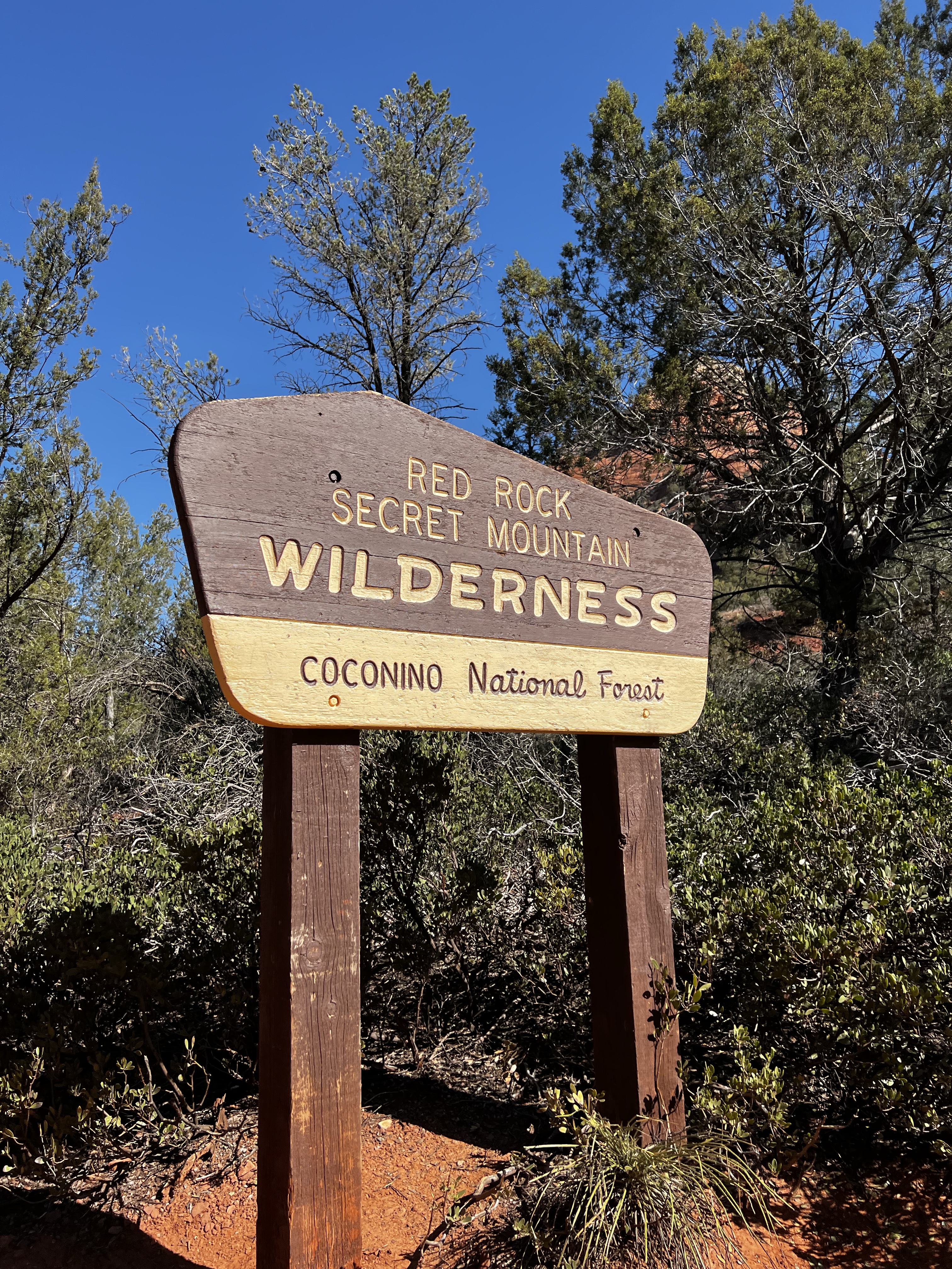
The next day we were up early for what was supposed to be a short, easy hike and then followed by an afternoon of shopping in downtown Arizona. However, we had some trouble. We had planned on going to Sugarloaf for the trail there.. The parking lot was full and street parking was not allowed. We then planned for Bell tower but the parking lot was full.  Planned on going to Vultee Arch- couldn’t find the parking lot so we ended up driving out to Brin Mesa. I tell you a four-wheel-drive will be much better to get you there but we were able to find parking. Hallelujah. 

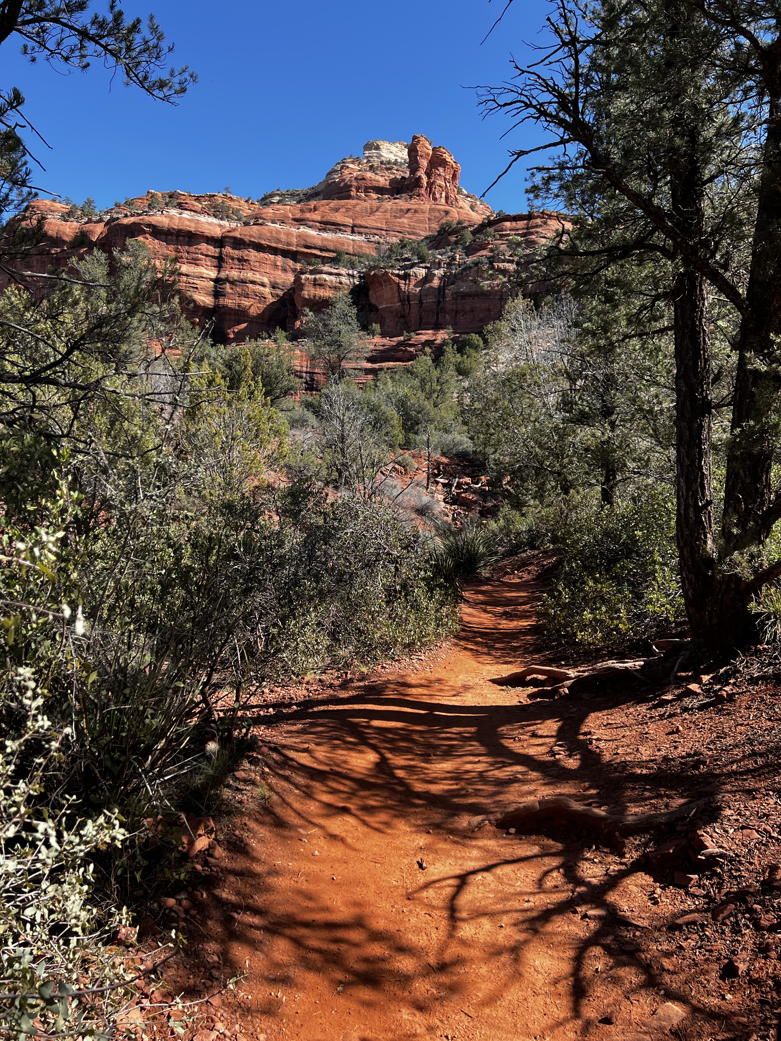
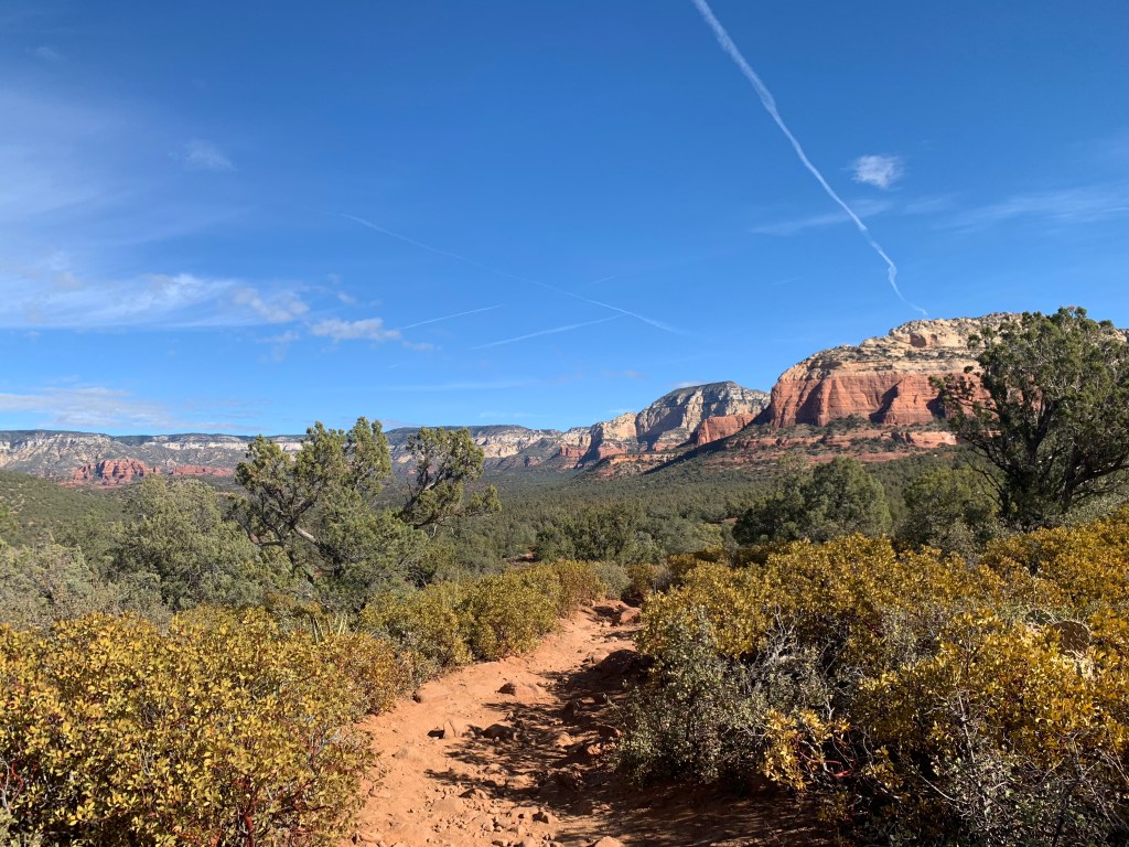
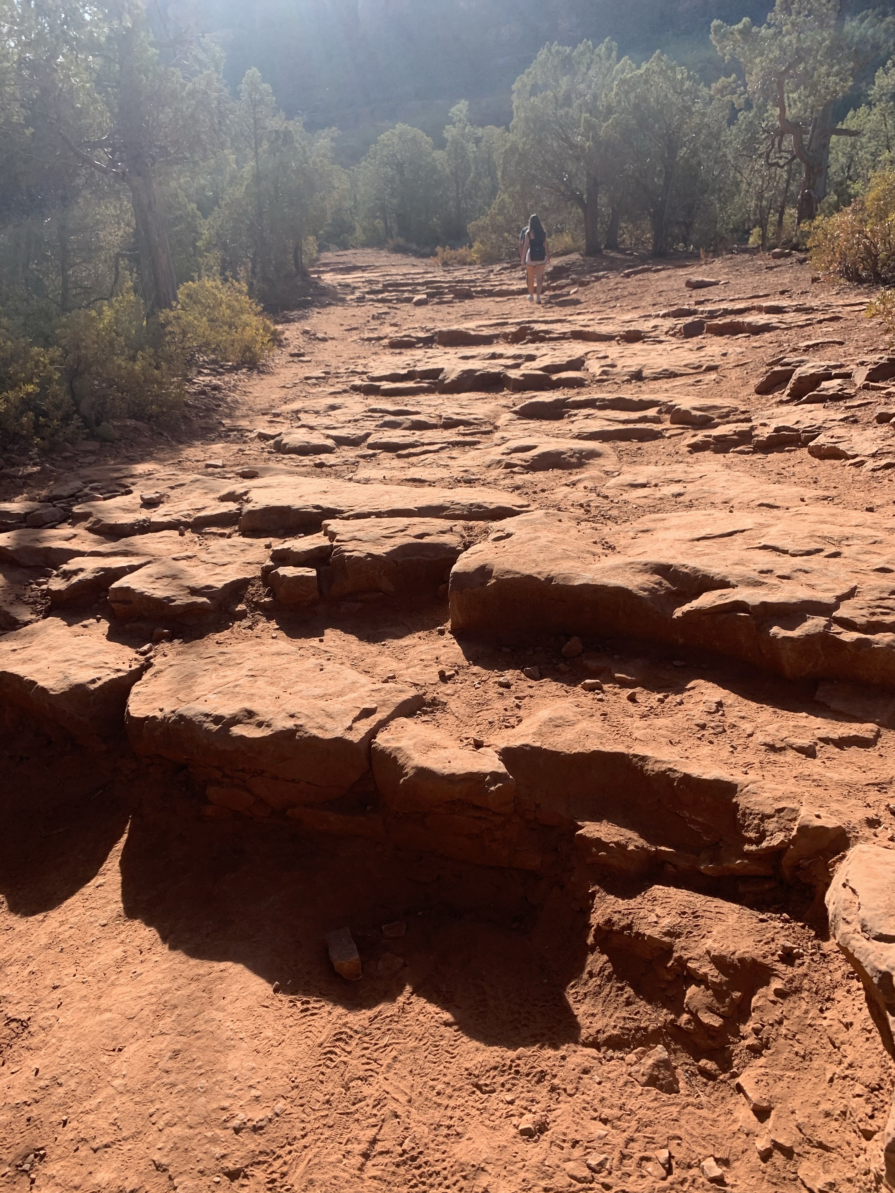
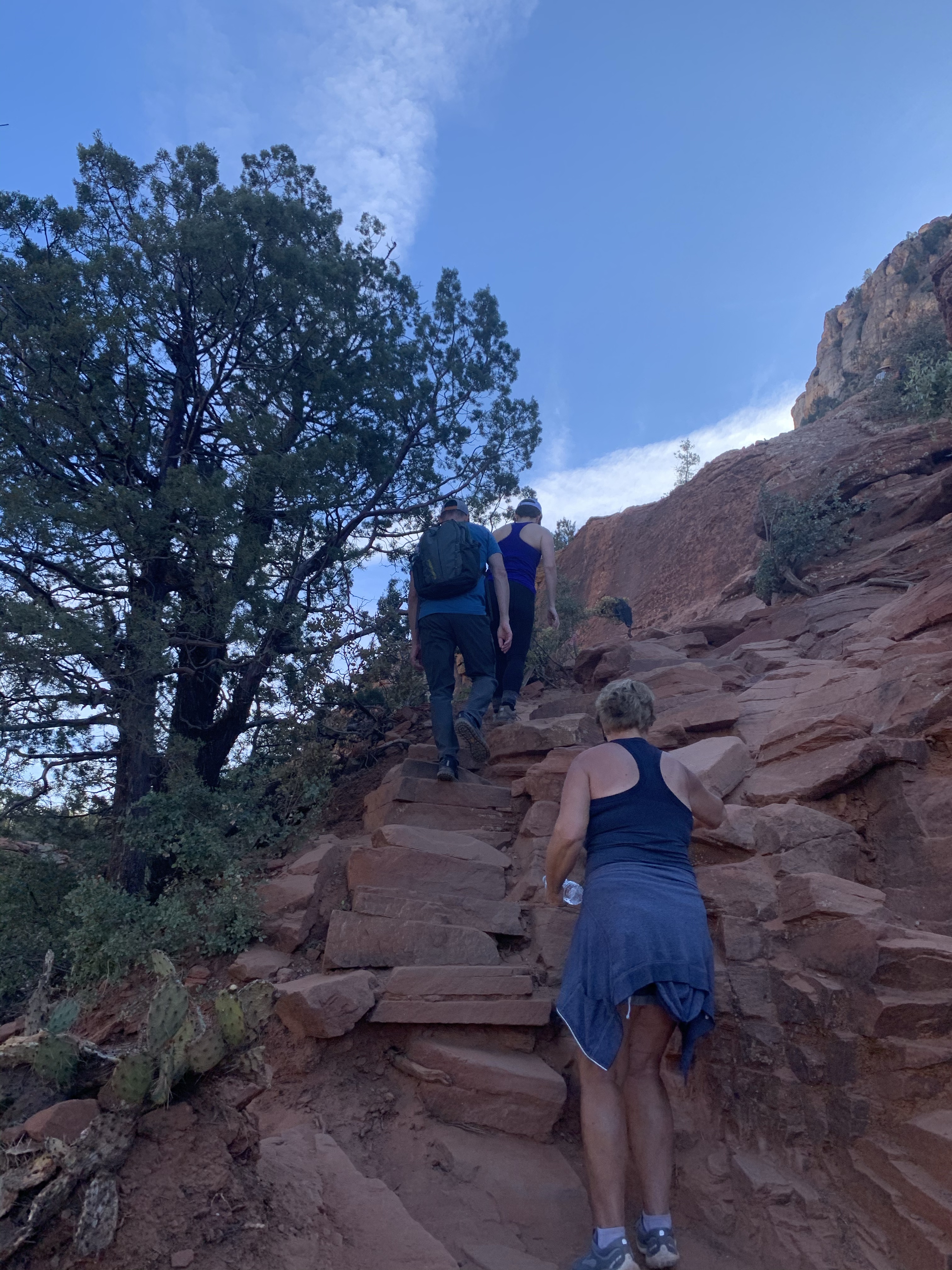
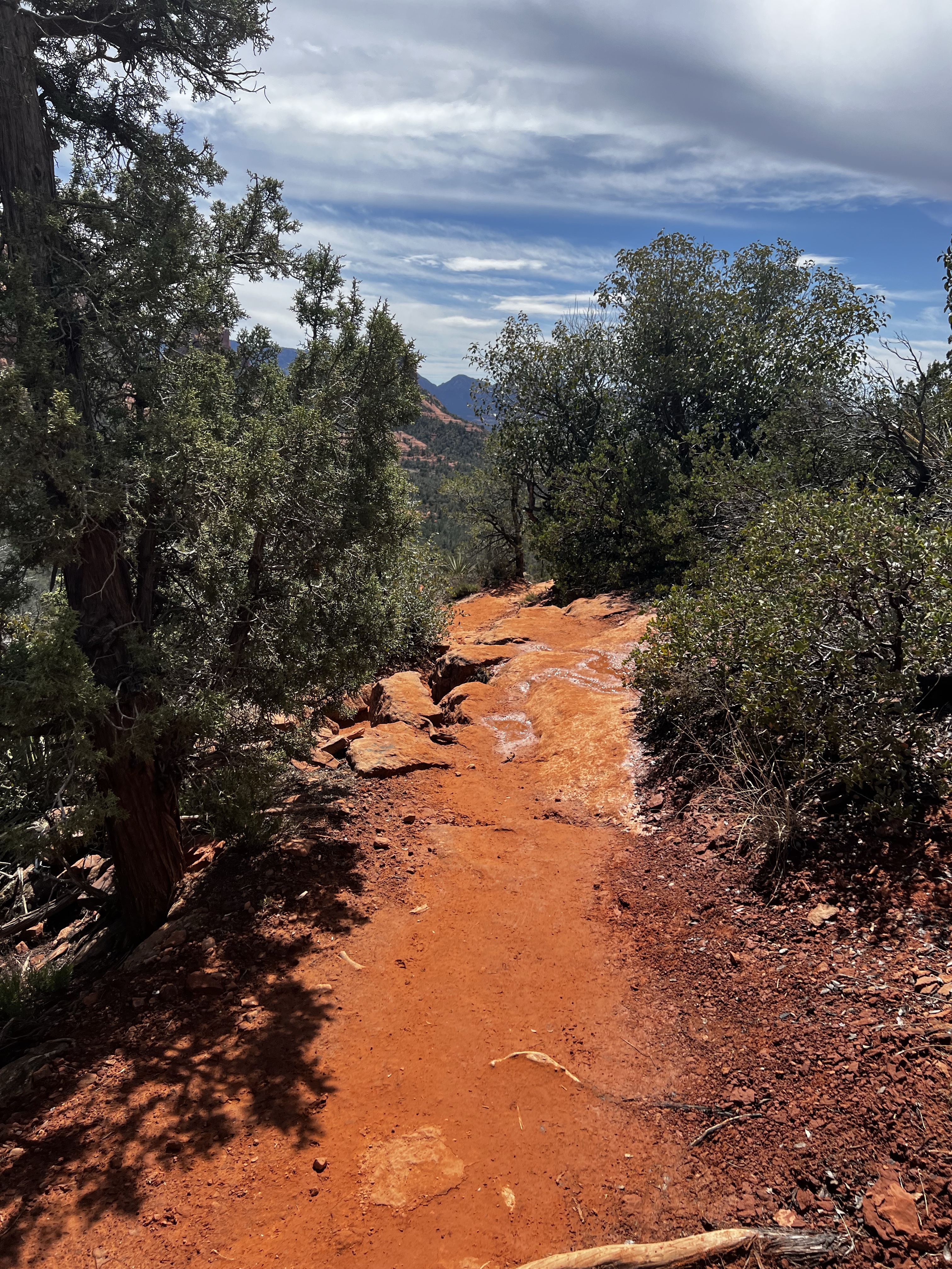
We headed out for what All Trails said was a short 3 1/2 mile out back , it was also supposed to be very easy with very little incline.   Lies!  Brin Mesa started on this marvelous orange trail with green trees and the awesome rocks to your right. . Everything looked amazing. Then we had a little turn and a little climb that turned out to be a lot steeper than we thought. It’s basically like climbing steps, but I wasn’t prepared for that and I was whining. 

 Once we got to the top, we took a breather  and we could see some people out on a rock. So I let my mother convince me to go to the rock.  Once at the rock the view was amazing- 360° view.   Let me tell you, Brin Mesa is worth it.

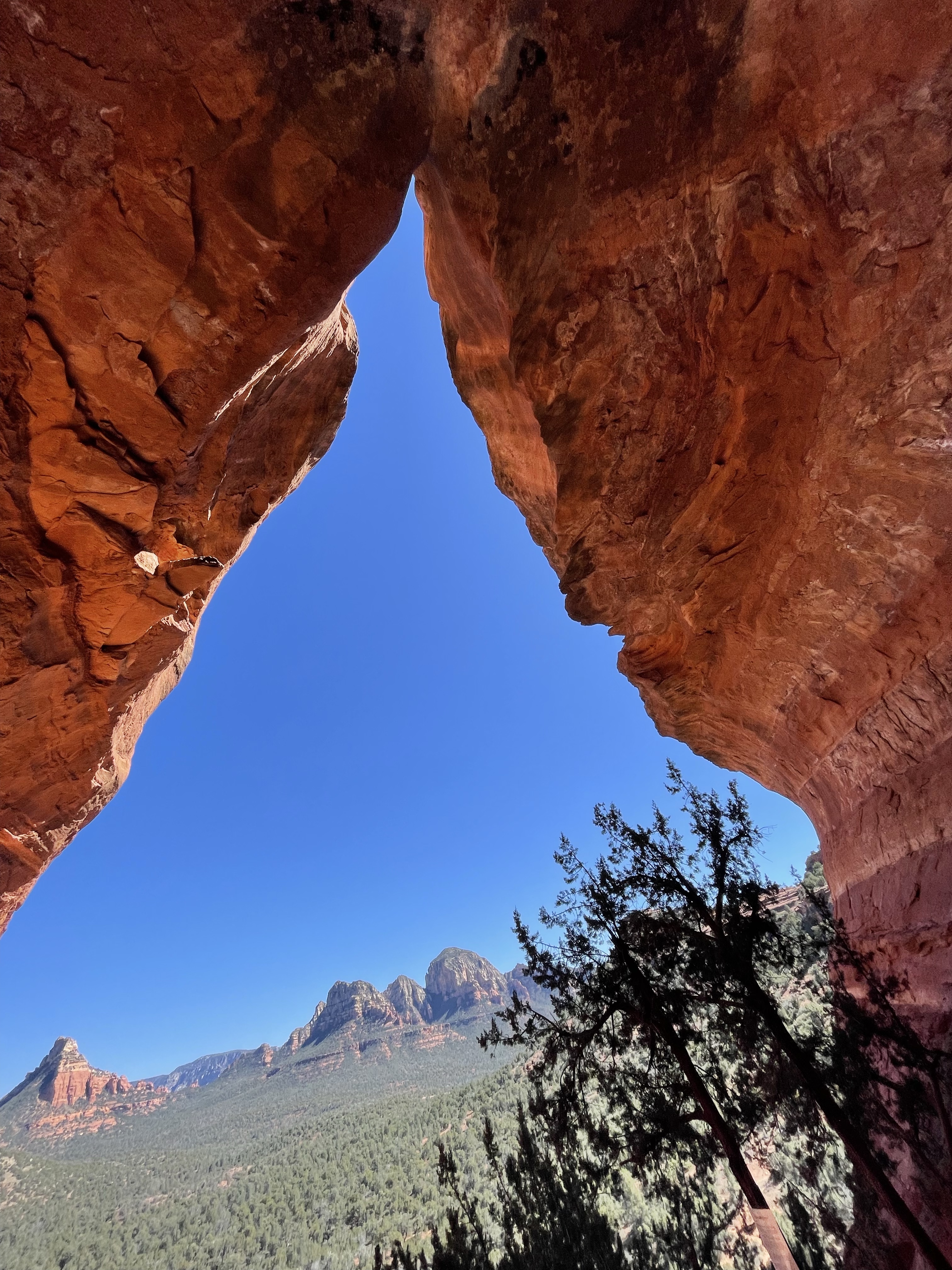
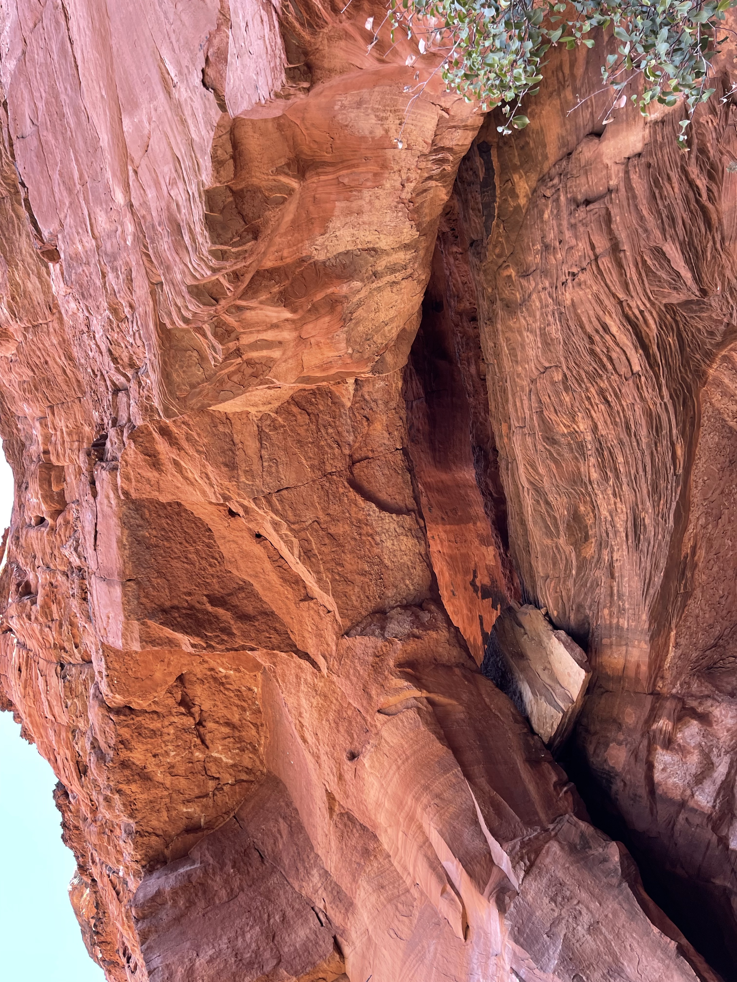
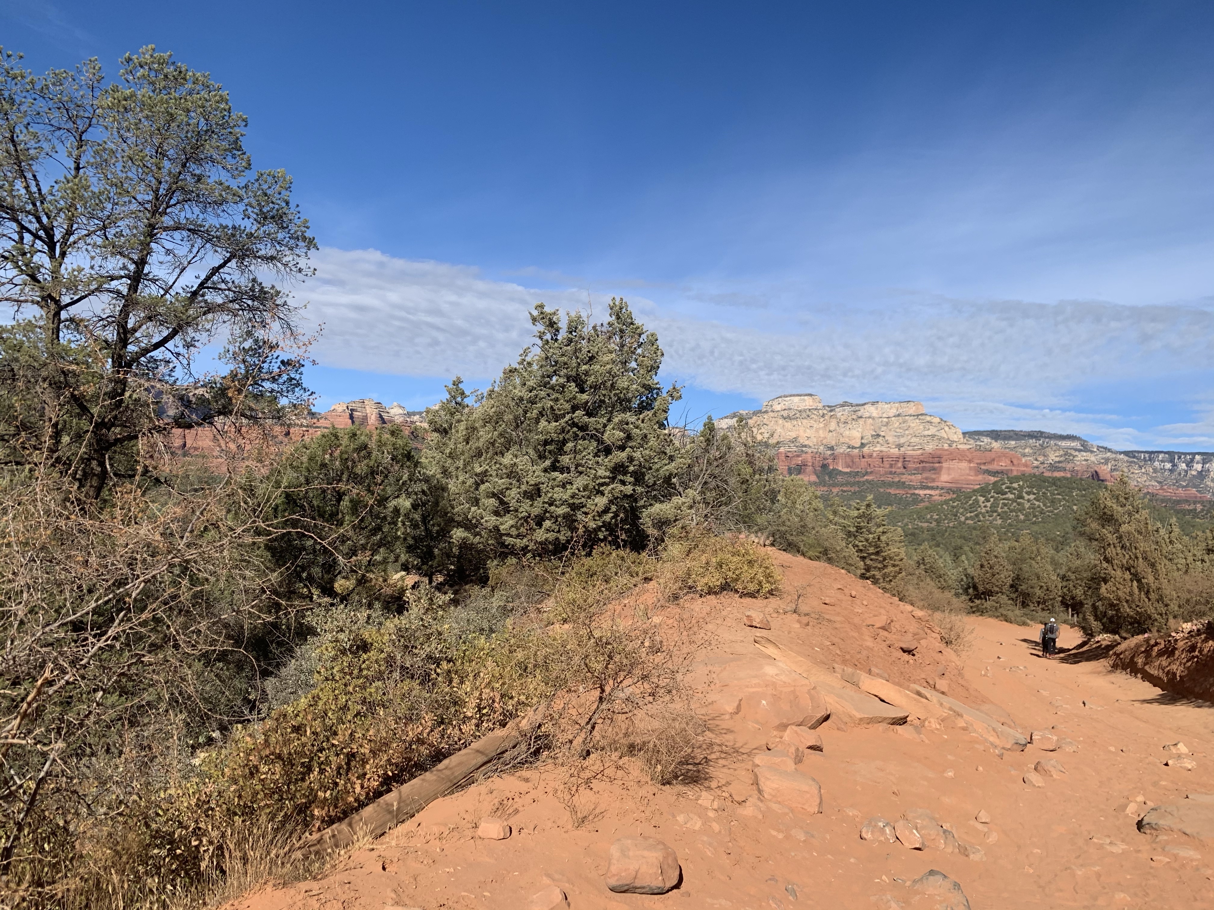
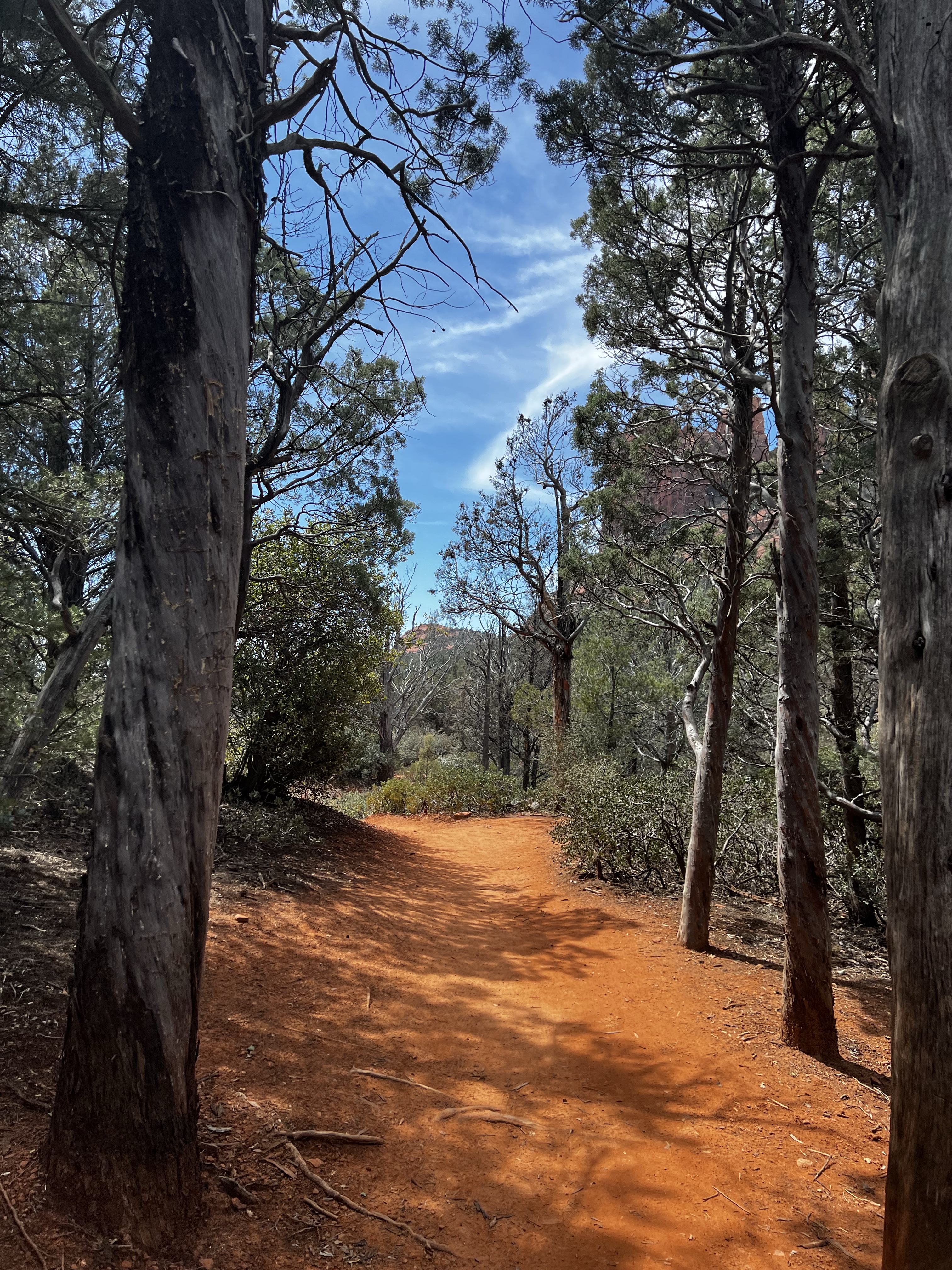
Then instead of turning around like I had planned, we continued forward. Did we have a real plan?  No.  Was I positive I had  looked at the map at the trailhead right? Also no.   But, choose your own adventure.  So we continued around and eventually Brin Mesa turned into Soldiers Pass Trail, along the way this had one of the best views I’ve ever seen.   Pictures don’t do it justice.  

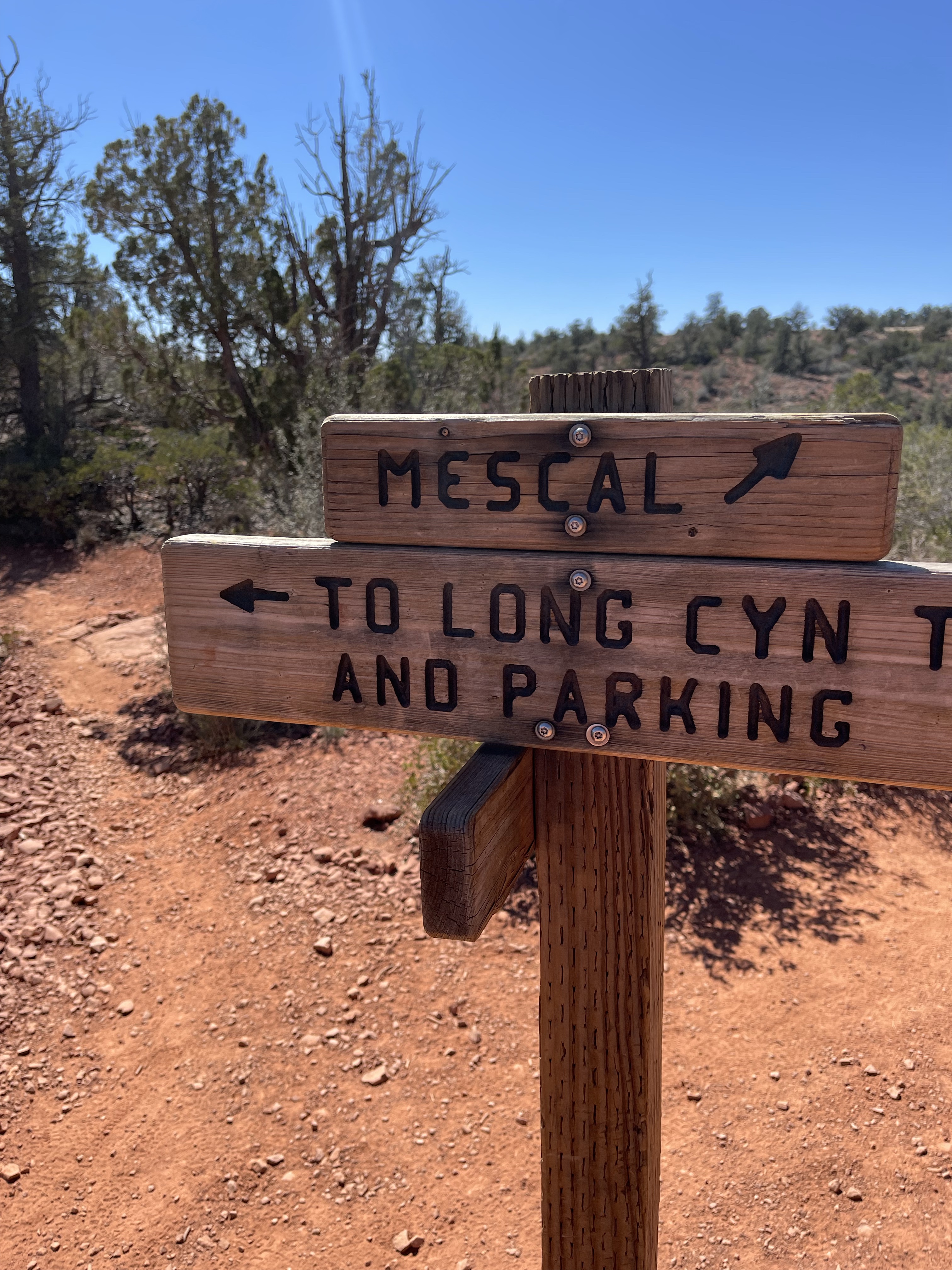
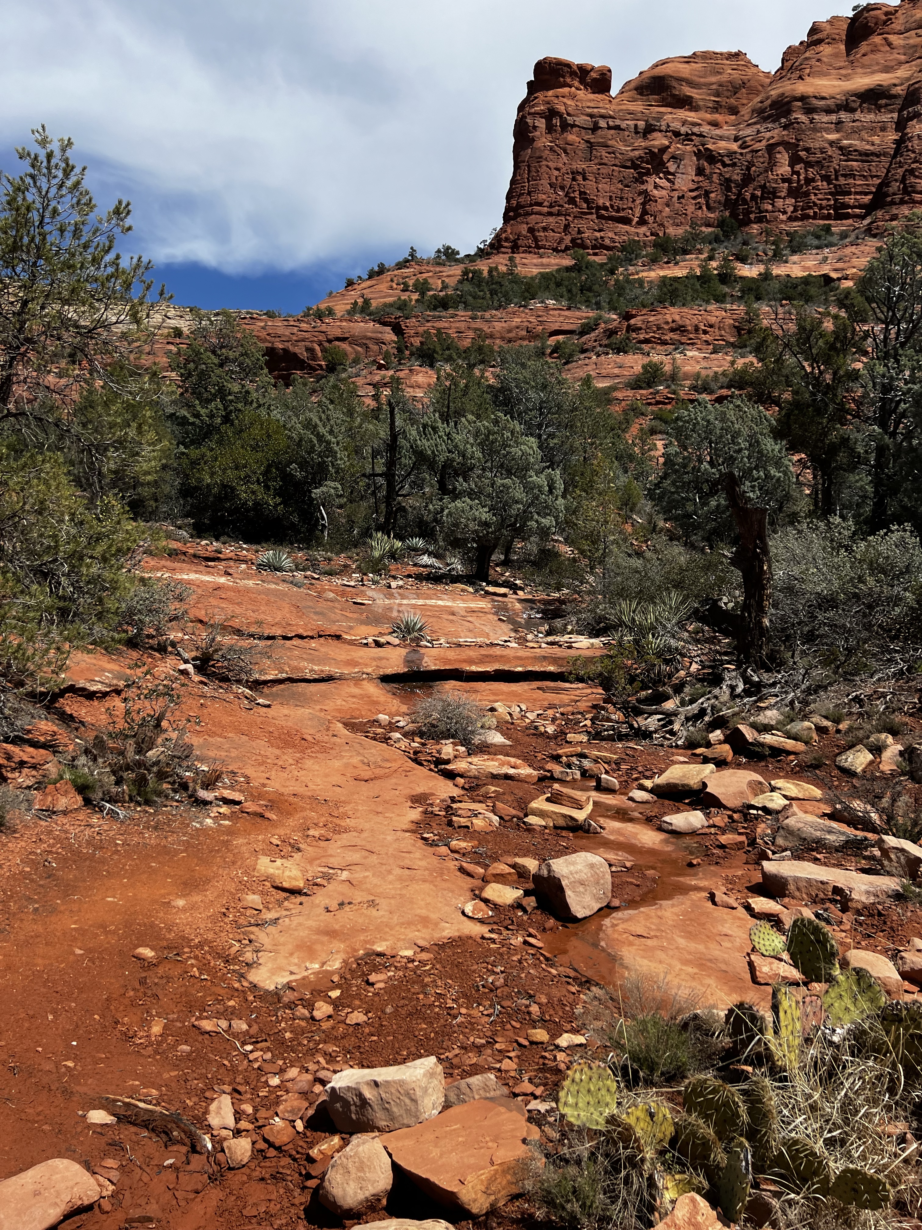
We continued down into a little gully and started to realize that we were connecting with Soldiers Pass, which I had hiked a couple years ago and I vaguely remembered the area. I was pretty sure we could pick up the other trail and loop around it to Brin Mesa without turning around, but also wasn’t positive. The catch was that I hadn’t actually looked at the map that closely and I couldn’t remember what the name of the other trail was. I vaguely remembered a man’s name so I figured I would figure it out.   It took us past the Seven Sacred Pools and back passed the sinkhole to the Soldiers’ Pass trailhead.. We were able to pick up the Jordan Trail- success!  And then we were headed back towards the Brin Mesa trail head. 

The Jordan trail was nice and pretty easy. There were no real technical moments, just a few parts where you crossed the rocks and kind of lost the trail, but it was fairly easy to pick it up again. I was melting because once again, I was unprepared for how much sun I was getting. We ended up getting back to the trailhead and getting in around exactly 6 miles.  So while it wasn’t long it was  a longer route that I had originally planned, but still worth it. 

However, I was still concerned about the next day, when we would venture into the Grand Canyon. We then spent the rest of the afternoon wandering around downtown Sedona and ate some good pizza before heading back to the hotel to get some rest. 

Vacation- Boynton Canyon/ The Subway

I so needed a vacation and some time in the dirt.   Cue- Arizona.

First up on my hike list was Boynton Trail and The Subway.    This trail gave it all- rocks, red dirt, streams, forested areas, sketch climbs and maybe getting a little lost.  

We were able to get a parking spot right near the trailhead which is also right near the bathroom. I still don’t know how we scored. This parking was only five dollars a day and you can pay on your app so it’s perfect. 

We headed out from the trailhead looking for the Subway and somebody had said something about a Vortex on Boynton Canyon Trail.  The trail took us to the typical red rocks for amazing scenes for the 1st mile before we turned off and headed for the Subway. This is where things get a little weird.  So there’s plenty of trails but they don’t always make a whole lot of sense so a lot of us got lost trying to find the subway.  Then we figured out we were going the wrong way so we all turned around and eventually figured out where we were going.  

The  Subway is this amazing rock and cave formation although climbing up can get a little sketchy. There was water coming down it so it was a little slippery but once you’re up to the top, the views are amazing.  It was spring break so it was super crowded, which I keep trying to avoid, but I keep failing at that. That being said, the people were really cool. We all were able to help each other take pictures or chat about how coming up the subway was a little sketchy. Or how getting down the Subway was going to be a little sketchy too.

I could see a corner that looked like it went around the rocks and continued on so I decided to go out and Adventure and see if it did. My mother was very not happy with me. It did work so I was able to get around the corner and they opened up a cave formation.  The caves were amazing and the views were amazing. I also found some cave art that I surprisingly managed to take a picture of without knowing.

From there, we went down a second way and I found that to be much easier than going down the original rocky way up into the subway and we headed back to the trail. Or so we thought. We were with another family and somehow we all got so lost. Do you know how you think you’re on the trail and you keep going but then the trail ends and you don’t know what to do when you turn around and the trail has completely disappeared. Yeah that happened. It was great so then we’re trying to use GPS to figure out where we were and GPS isn’t working properly. We couldn’t figure it out so we ended up what it felt like bushwhacking through some bushes just heading one direction and then somehow we found ourselves back on the trailer we diverted off for the subway. We still don’t know how I managed to get that lost.

From there, we headed up towards the end of the trail in Boynton Canyon and took us into a more forest area with a river which was great. I however was starting to have some problems with the heat. Oops, I packed for the cold. This was not cold, so I slowed way down as we headed towards the end of the canyon.  once into the canyon, they were against amazing views, as I sat and chilled and ate a snack.

From there we turned around and headed back to the car.  The car put us around 7 miles. I was feeling pretty done for the day but my mother was like no we have to get over 10 a day so I refueled at the car, changed my pack for my handheld, and we went out to do some more miles.   

We thought it was just a short shot. We took the Mescal trail to Canyon of Fools. . Mescal was great and user-friendly while Canyon of Fools Canyon was not. I mean technically it was shorter than going all the way around Mescal but we did not know the condition of the trail. The trail is mostly a wash. It is not the place you want to be in case of a flash flood, and you can tell that it had flooded recently.  Because it’s a wash it was very hard to find the trail. It’s also a mountain biking trail so luckily I was looking for wheel patterns but every now and again we’d get a rocky area and I would get a little confused. The wash was pretty cool, although, like I said, you did start to wonder if the flood was going to come and you were in the wrong place. From there, Canyon of Fools dumped us out onto the road and we had a little over a mile walk on the road back to the parking lot.  All in all it was a really good day. I might’ve overheated which I probably should’ve taken as a sign of things to come, but my legs felt good, and I was looking forward to looking forward to the next day.

Vacation- Birthing Cave

The Birthing Cave trail in Sedona is nice, short, fairly easy trail to do. Unless you do it the same day you do Soldiers Pass and you’re overweight and out of shape.

Oh, wait, that was me.😆

Honestly, getting to the trail head was probably harder than the trail was. My GPS disagreed with what AllTrails said. And I didn’t actually find the trailhead. I stopped too soon and parked along the road near the Mescal trail head. Which is also how I learned there was another route to Devil’s Bridge but I’d already been there the last time I was in Arizona.

We started out on the Mescal Trail thinking we were just going to go a mile or so in and see what there was as we knew we weren’t in the right spot. Luckily a quarter mile in, we hit a trail junction that included a branch off onto the Long Canyon Trail which is where I had been trying to drive to. So we took it. It was a nice single track with some elevation drop.

Once at the Long Canyon trailhead, we headed back towards the Birthing Cave. Or, at least we hoped, this trail doesn’t have signs and there some places you could another direction. We ran into others just as confused as we were. Good thing was that this trail was pretty flat, wide and actually runnable if you wanted to.

After a little more winding back towards the cliff walls, you start to climb. I had to take a break, I’m so out of shape.😂. Then you start to scramble up, careful you don’t try to use a cactus as your handhold. The cave is cool but also not as big as you think it will be and it fills up quickly. It’s also very slippery and I was too tired to try climbing all the way in. I didn’t need to break my face.

After a short time in the cave enjoying the views, we headed back to the car. With the extra we tacked on with parking at the wrong trailhead, we came up just under 3 miles. Like I said, short but still good.

Vacation- Soldier’s Pass

I love dirt. I really do.

Getting sick in January may have derailed my original vacation plans by a lot, I was still planning on adding getting in some miles on new to me trails. So I headed back to Sedona.

First trail up was Soldier’s Pass.

AllTrails calls Soldier’s Pass a moderate, 4.5 mile out and back trail. There is a small trailhead parking lot but will likely be full. We parked in overflow about a mile down the street at a school/ bike park location. There was a nice trail that ran along the road so it was nice warmup.

I love the color of the rocks and desert in Sedona. I know it gets hyped up a lot but there is a very valid reason for it. That also means be prepared for crowds. Everywhere. From prepared, experienced hikers to people in flip flops.

The beginning of the trail brings you to a cool sinkhole to check out. Then about a mile in (or 2 from overflow) the trail brings you to the Seven Sacred Pools. Maybe I was tired, but this part was a little underwhelming. Were there 7 pools? Maybe. Maybe I was blind. The trail starts to climb a little here but nothing strenuous.

The path was nicely shaded actually as we made our way to a little plateau. From there the real climb begins and things start to get hard. The path narrows and gets steeper as you make the last climb to the rock wall and the caves. The caves are cool. Getting up an into the big one is sketchy but I am proud that my claustrophobic self managed to climb up to the cave level. I spent some time up there for a bit- only almost fell once, ha! It does get crowded up there though and how more people don’t fall, I don’t understand. I did slip on my way back out of the caves and wrenched my shoulders a bit but I didn’t fall, so win!

From there, it was back down to the plateau then on to the Seven Sacred Pools again. Took a few moments here to take a sit and eat a snack or 2. It was a little warmer than I figured for March, even in Arizona.

All in all, round trip from the overflow lot to Soldier’s Pass was 6 miles with around 800 ft of elevation gain. Most of that in the last .25 mile or so. Totally worth it.

Escape Day 3- Devil’s Bridge

Friday was our last full day in Arizona and as amazing as the Canyon is, we wanted to see some other sights as well. We were up early and headed off for Sedona.

Sedona feels like a completely different world from the Grand Canyon. There’s just something about it. We were both super sore from the previous 2 days so we knew we weren’t up for something intense. So after a stop at the local Golden, errr Teal, Arches, my mother says- hey I found a trail. It’s called Devil’s Bridge and it’s only a 1.8 mile round trip hike. Ok, sounds pretty chill.

The trail head was crowded so we had to park on the street just as many others were doing. That should have been the first sign. Since it was a short hike, I didn’t feel like taking my pack and almost didn’t take water. I grabbed a bottle at the last moment and shoved it in my handheld.

As we walked into the trail area, the second sign appeared. This one literal- Devil’s Bridge, 2 miles from this point, take water. Hmmm, ok, I knew we parked on the street but it shouldn’t be 1 mile to the trail head??? And it wasn’t. Color me confused.

We picked up the trail and headed out. I was even more confused as there were a lot of cars in the trailhead lot not to mention those that parked on the street- but there was no one on the trail? The only people we saw were a couple of mountain bikers who were headed for a different trail. This continued for almost a mile. Were we lost?? The trail finally dumped us out onto an OHV road with an arrow saying it was the way to Devil’s Bridge. Ok?

Other than the deep sand we were walking in, the trail was fairly easy. But there was no way this was 1.8 miles roundtrip. Then we hit another trailhead. Huh? This one was only accessible by foot or by a high-lifted 4X4. Interesting. Not only were we running into more people, the trail was getting a little more technical. Ok. We kept going.

The views were amazing, so the extra distance wasn’t an issue. I had a Buff so I was keeping it up when people got a little close on the trail. It also helped me hide my facial expression when I overheard a conversation. A woman and man were hiking together and judging by their gear and clothes- they were athletes- runners or cyclists- something. But then I hear the woman say that she doesn’t like how spaced out the stone steps/ dirt was. It just wasn’t working for her stride and she wished it was different. Huh????? Sure, let me call Mother Nature about that right now.

The offenders

The trail became more intense the closer you got to the Devil’s Bridge- like you now needed your hands to climb up rocks and steps to reach higher parts of the trail. Again, the parents letting their children run wild surprised me. There was a lookout point and then one last rocky climb up to the level of Devil’s Bridge– only to discover where all the people were. There was an hour+ line for top of the bridge photo ops! What??

No, I didn’t wait. There were way too many people. I tried to take some arch pics from where I was and then I headed back. Now we had to negotiate those same rock climbs going down- and I ate it on the first one- like I bounced. So much for having a big backside- other hikers told me they heard my tailbone hit rock. Yep, felt that one. Ouch.

Lies

Then we hiked back out following the OHV trail the whole way. Where once again we saw a sign- it too said Devil’s Bridge was 2 miles from that point- but it was still 1/2 mile or so to the other sign that said the same thing. So the true length of the trail is anyone’s guess. My watch showed 4.6 miles roundtrip.

The trail was gorgeous but I was a little broken- so the rest of the day was spent just strolling around downtown Sedona, hitting all the tourist stops. I would love to go back and spend more time on trails, maybe just in better shape.

I just liked this rock formation

Oh and my backside? Bruises that rivaled my dog attack- and it hurt to sit for over a week.